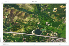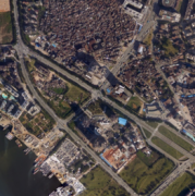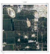
Shanxi Yatai Digital Remote Sensing New Technology Co., Ltd. (YTRS) is a private high-tech company that carries out research, development, application and promotion of aerial remote sensing technology. Founded in December 2003, the company has long been committed to aerial photography
Yatai Remote Sensing(Shanxi)Technology Co., Ltd has successfully obtained the "2023 High-tech Enterprise" certificate jointly issued by the Shanxi Provincial Department of Science and Technology, the Shanxi Provincial Department of Finan
From 26-30 June,2007 the company has taken part in the 3rd Hi-Tech Production Expo in Shanxi Province during which the company has sent Engineers to make demonstrations to the would-be customers and made the technology known by more people
With the steady and rapid development of the economy and the increasing demand for electricity, the grid planning, survey, design, construction and follow-up operation, management, maintenance as well as analysis for decision making become
The company utilizes airborne LiDAR surveying technology to seek safe and efficient new methods for surveying highway renovation projects even under heavy traffic volumes. This approach ensures normal road traffic and eliminates the signific
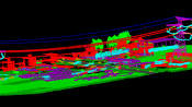
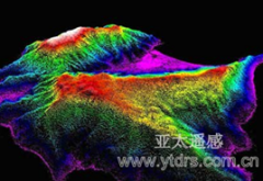
Airborne LiDAR technology is an internationally advanced high-precision surveying technology capable of synchronously, rapidly, and accurately acquiring ground 3D coordinates and image data. Through specialized processing, it can produce hig
Airborne laser LiDAR systems directly acquire three-dimensional ground data. Compared with traditional surveying methods, it is of high precision, high density, rapid operation, and low cost. Through post-processing, ground points can be sep
Airborne LiDAR technology offers the advantage of operating without ground control points; a single flight can acquire both topographic and ground surface data of the survey area, facilitating design and construction for the engineers. This
Airborne geophysical prospecting, referred to as airborne geophysics for short, is an advanced technology that combines geophysical exploration techniques with aviation technology. It involves using aircraft or other flying platforms equippe
LiDAR technology is not only capable of measuring ground elevation, but also has the characteristic of being completely absorbed by water bodies, enabling accurate mapping of coastal shorelines and providing reliable foundational data for ma