LiDAR technology is not only capable of measuring ground elevation, but also has the characteristic of being completely absorbed by water bodies, enabling accurate mapping of coastal shorelines and providing reliable foundational data for marine management. Surveying islands far from the mainland has long been a challenge in the field of surveying and mapping. LiDAR technology, with its advantages of no ground control points and high precision, can efficiently acquire and process data on basic island topography, geomorphology, and surface feature characteristics, thereby supporting better development of marine resources and island management.
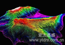
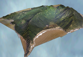
Da Jin Island Laser Point Clout Image Da Jin Island 3D Model
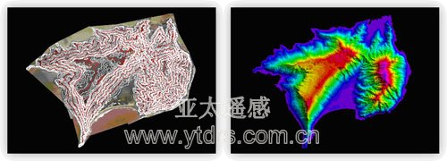
Da Jin Island Contour Map Da Jin Island DEM

