The sites for large and medium‑sized hydropower stations and reservoir construction are often located in mountains or area with dense forests, making topographical surveying using traditional aerial survey methods extremely difficult, and in some areas nearly impossible. Airborne LiDAR technology offers the advantage of operating without ground control points; a single flight can acquire both topographic and ground surface data of the survey area, facilitating design and construction for the engineers. This effectively reduces field survey work, raises the overall standard of surveying for reservoir and hydropower station construction, and promotes the sustainable development of water conservancy and hydropower engineering projects.
► Engineering Case
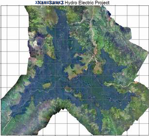
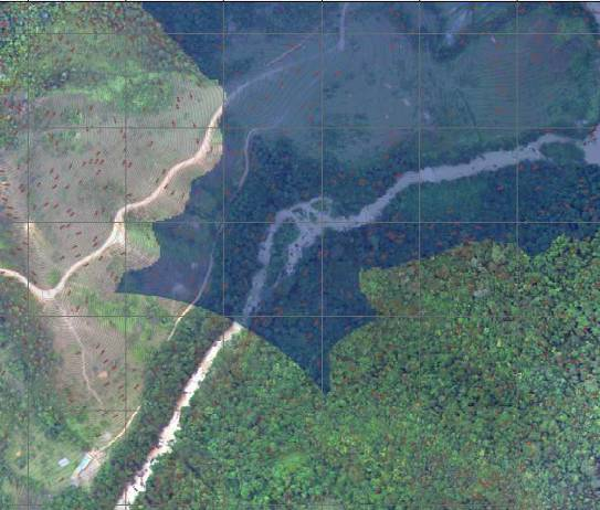 Design of Dam based on Survey Area Data

