With economic development, the renovation and upgrading of old roads has become a key focus for highway engineering departments. However, traditional highway survey techniques suffer from low measurement accuracy and long operation cycles, often causing road block and congestion during surveying, while also failing to ensure the personal safety of survey crews. Therefore, the adoption of safe and efficient new technologies is imperative.
The company utilizes airborne LiDAR surveying technology to seek safe and efficient new methods for surveying highway renovation projects even under heavy traffic volumes. This approach ensures normal road traffic and eliminates the significant safety risks faced by field personnel.
►Solution
Using airborne LiDAR technology, we collect laser point cloud and image data of the ground surface within the operation area, and perform precise modeling based on the survey data from laser scanning. Longitudinal profile & cross-section can also be accurately extracted, allowing direct calculation of engineering earthwork volumes. High-resolution orthophoto maps are used as base maps, combined with relevant data, to visually and intuitively present the design schemes for road widening and reconstruction. Based on user requirements, different viewing angles are provided to simulate the realistic effects after road completion, further supporting scheme comparison and optimized design for road reconstruction and expansion projects.
►Engineering Case
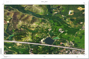
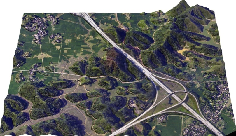 Digital Orthophoto Map(DOM) 3D Model Aerial View
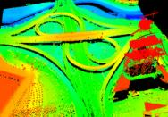
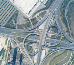
3D Point Cloud Raw Image
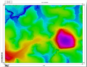
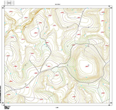
Digital Elevation Model(DEM) Digital Line Graph(DLG)

