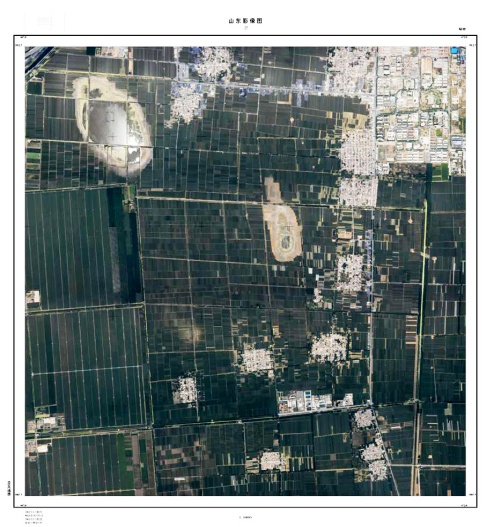
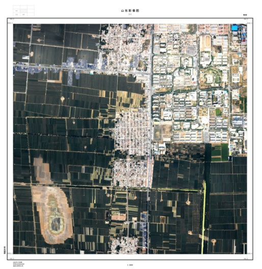
Land surveying aims to comprehensively investigate the current status of land use, to identify the types, quantities, and distribution of national land resources, thereby providing fundamental information and a basis for scientific planning, rational utilization, and effective protection of land resources.
Airborne laser LiDAR systems directly acquire three-dimensional ground data. Compared with traditional surveying methods, it is of high precision, high density, rapid operation, and low cost. Through post-processing, ground points can be separated from vegetation, buildings, and other features, simultaneously yielding both Digital Terrain Models (DTM) and Digital Surface Models (DSM). By employing airborne laser digital aerial surveying technology, high‑resolution true‑color digital orthophotos and high‑precision Digital Elevation Models (DEM) can be rapidly generated, which fully meets the requirements of land detail surveys at scales from 1:1,000 to 1:10,000.
►Engineering Case