Airborne LiDAR technology is an internationally advanced high-precision surveying technology capable of synchronously, rapidly, and accurately acquiring ground 3D coordinates and image data. Through specialized processing, it can produce high-precision 4D geospatial products, enabling fast and intelligent 3D real-time reconstruction of ground features with dynamic and realistic representation. This provides efficient and high-quality basic surveying data for the construction of fundamental geographic information frameworks for digital cities.
The bottleneck in 3D digital city construction lies in how to ensure data is up‑to‑date and how to effectively manage and utilize these data. Our company possesses advanced airborne LiDAR equipment and a strong technology development team, offering comprehensive solutions for digital city construction.
► Engineering Case
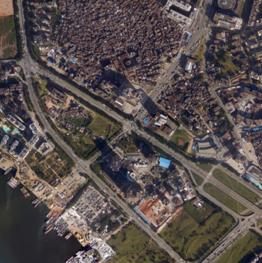
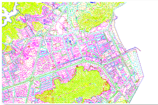
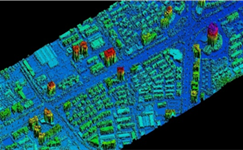
DOM DLG DSM

3D Landscape Roaming

