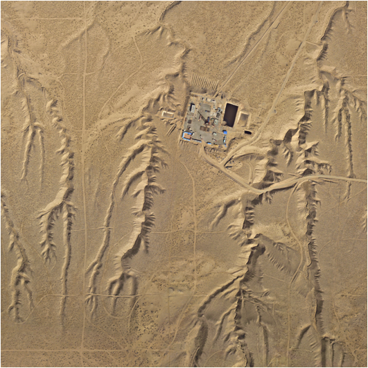
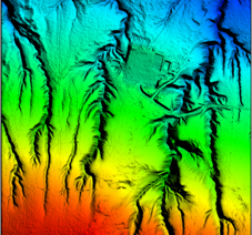
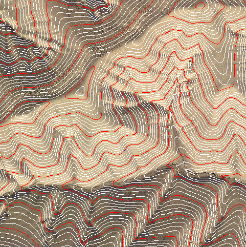
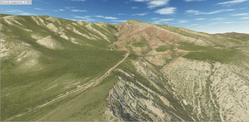
Topographic surveying is the first and foremost step in petroleum exploration. It requires geological field reconnaissance to delineate strata and to produce geological maps based on topographic map, thereby providing fundamental geological data for petroleum exploration. By employing airborne LiDAR technology in the exploration area, three‑dimensional surface information can be acquired rapidly and accurately, generating high‑precision digital products such as DEMs and DOMs. These products provide high‑accuracy data support for petroleum exploration and hydrocarbon detection, and offer a complete set of high‑precision basic aerial survey data for subsequent drilling, exploration and temporary works, pipeline network layout, and surface facility construction, thereby promoting substantial development in the oil and gas sector.
► Engineering Case
3D Laser Point Cloud Rendering Image
DOM DEM DEM+DLG DOM+DLG
3D Model
Strict Standards, High Quality Manufacturing Excellence and Pursuing Perfection
Copyright 2003-2019 YTRS Corporation, All Rights Reserved