With the sustained and rapid development of high-grade highways in China, traditional highway survey techniques have fallen far short of the demands of construction development. Airborne LiDAR technology is a brand-new technique for rapidly acquiring high-temporal and high-spatial-resolution geospatial information. It enables fast, direct acquisition of high-precision 3D digital information and high-resolution image data over large-area ground surfaces, thereby providing foundational and derivative data for highway route selection and surveying.
The company has employed airborne LiDAR technology for aerial data acquisition and processing over the survey route area. Combined with practical industrial applications, we have innovatively designed a DLG production scheme using airborne LiDAR technology. After verification by various parties and acceptance inspection by national quality inspection authorities, all accuracy indicators of the products have proven to be superior to both industry standards and project requirements. This provides a completely new and highly efficient technical solution for domestic highway route selection and surveying.
►Advantages
(1) Reduced field workload and high data accuracy;
(2) High degree of automated data processing and rich information content;
(3) Rapid and realistic 3D visualization of design results;
(4) Direct acquisition of 3D coordinates of target points without the need for stereo-pair measurement.
►Solution
Airborne LiDAR enables rapid and direct acquisition of high-precision 3D digital information over large-area ground surfaces. By integrating LiDAR point cloud data, 3D digital topographic maps, contour lines, DEM, DOM, DLG and other products, optimized design for highway route alignment is achieved.
The DEM product supports highway survey and design by establishing a digital terrain model; through extraction of longitudinal and cross-sectional profile data, it provides fundamental data support for highway surveying. Using the DEM and DOM data acquired by the laser scanning measurement system, a 3D model of the survey area is established to optimize the route. Based on LiDAR point cloud data and using DOM data as texture, a 3D realistic scene model is built, allowing observation of the same area from different angles to further refine the route, making it more economical and rational.
►Engineering Case
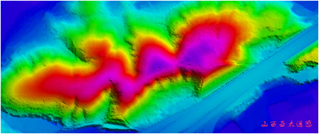
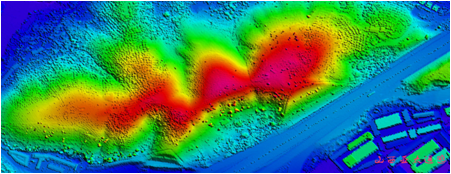
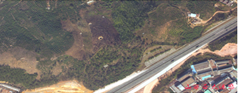
Digital Elevation Model (DEM) Digital Surface Model (DSM) Digital Orthophoto Map (DOM)
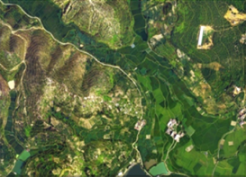
 Contour Map+DOM Route Selection Simulation
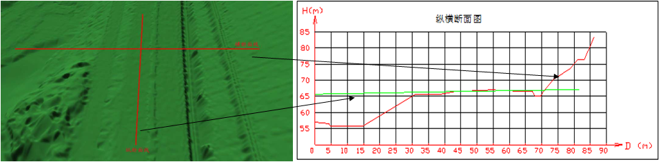
Longitudinal Profile & Cross Section

