Airborne LiDAR technology, as a new active Earth observation method, can acquire high‑precision three‑dimensional surface data. By employing airborne LiDAR technology, high‑accuracy point cloud and image data within the disaster‑affected area can be obtained, providing up‑to‑date data for disaster identification, analysis, and assessment. Through the construction of high‑precision DEM, DSM, and DOM of the survey area, three‑dimensional disaster scenes are established, enabling comprehensive multi‑dimensional and multi‑perspective assessments of the current development status, triggering factors, affected areas, hazards, and risks of potential geological disasters. This provides high‑precision data support for post‑disaster search and rescue, recovery design, infrastructure evaluation, reconstruction planning, post‑disaster insurance claims, accident studies, recovery assessment and disaster management, as well as classification and archiving.
► Solutions
(1) Digital Orthophoto Map (DOM)
Experts can use the DOM of the disaster area to identify key zones of concern, vectorize these key zones, and determine which part LiDAR point cloud data are required.
(2) Digital Surface Model (DSM) and Digital Elevation Model (DEM)
LiDAR data are used to generate a DSM; through specialized processing, the 3D surface point cloud data are then converted into a DEM. These models allow precise positioning of the source areas of debris flows, landslides and other hazards, as well as measurements of the area, volume, thickness, slope, aspect, and other parameters of the accumulation bodies.
(3) 3D Scenes
High‑precision DEM and DOM data generated from airborne LiDAR are used to construct three‑dimensional disaster scenes. Within these 3D scenes, combining expert experience and computer‑aided interpretation, and overlaying additional thematic data such as hydrology and geology, comprehensive multi‑dimensional and multi‑perspective assessments can be carried out on the current development, triggering causes, affected extent, hazards, and risks of potential disaster threats.
► Engineering Case

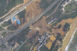
Digital Orthophoto Map (DOM)
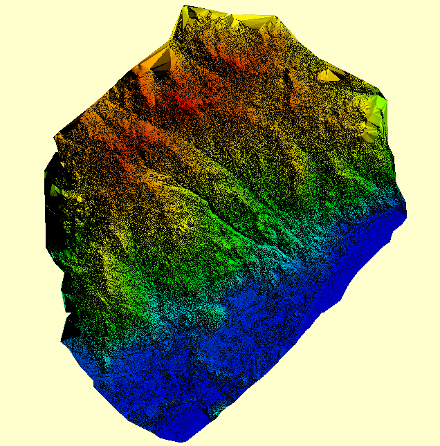
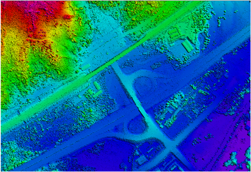
Digital Surface Model (DSM)
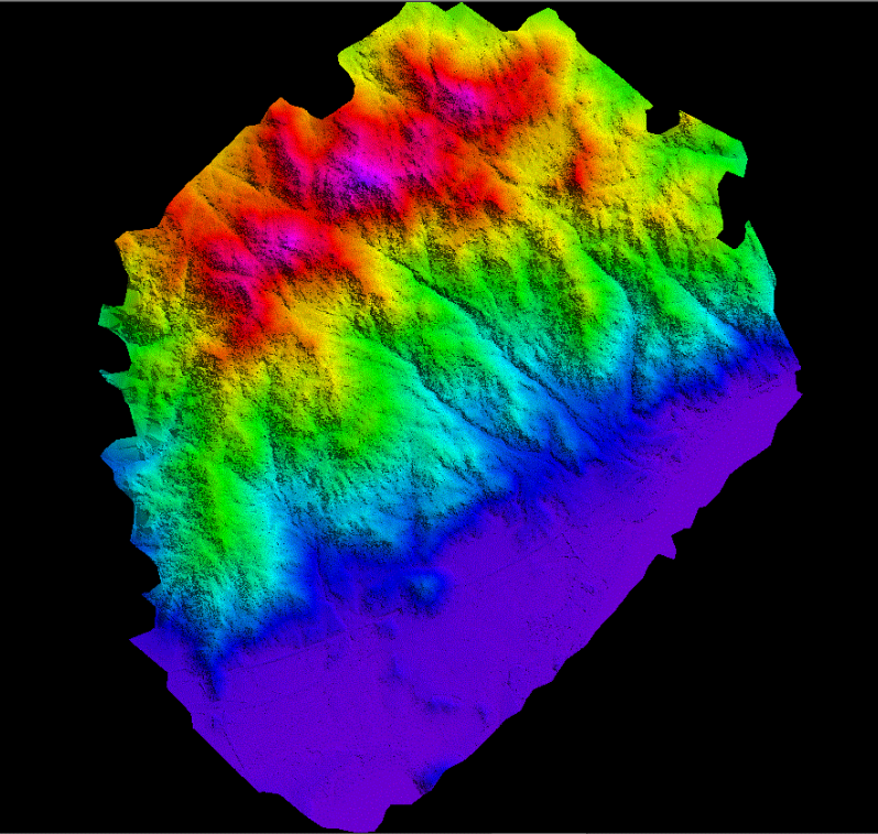
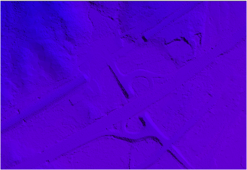
Digital Elevation Model (DEM)

